Map of the region
The nine names of Karabakh
Karabakh is not a single city but a whole constellation of towns and districts: from fortress Shusha to lowland Aghdam, from mountainous Kalbajar to southern Zangilan. Many of them lay ruined for decades and are being reborn today.
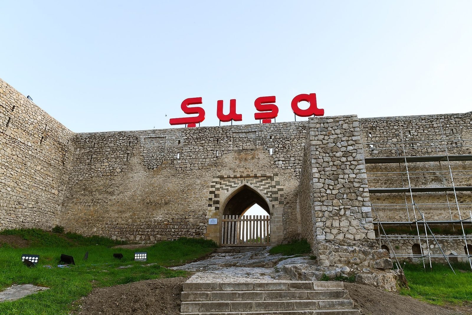
Shusha
A fortress city of 1752, the cultural capital of Karabakh and cradle of mugham. Liberated in 2020.
Khankendi
The largest city of the mountainous part of Karabakh, the administrative centre of the region.
Aghdam
The “Hiroshima of the Caucasus” — an almost completely destroyed city, now being rebuilt.
Dedicated site →Fuzuli
A lowland district; the first international airport of the revived Karabakh was built here.
Lachin
A mountain town on a strategic road linking the regions; the centre of the district of the same name.
Kalbajar
A high-mountain district with forests, rivers and mineral springs in western Karabakh.
Jabrayil
A southern district, one of the first to begin rebuilding after 2020.
Zangilan
A south-western district by the Aras river; a “smart village” and a new airport are being built here.
Gubadli
A mountain district in the south-west of the region, also returned under Azerbaijani control in 2020.
 Shusha
The pearl
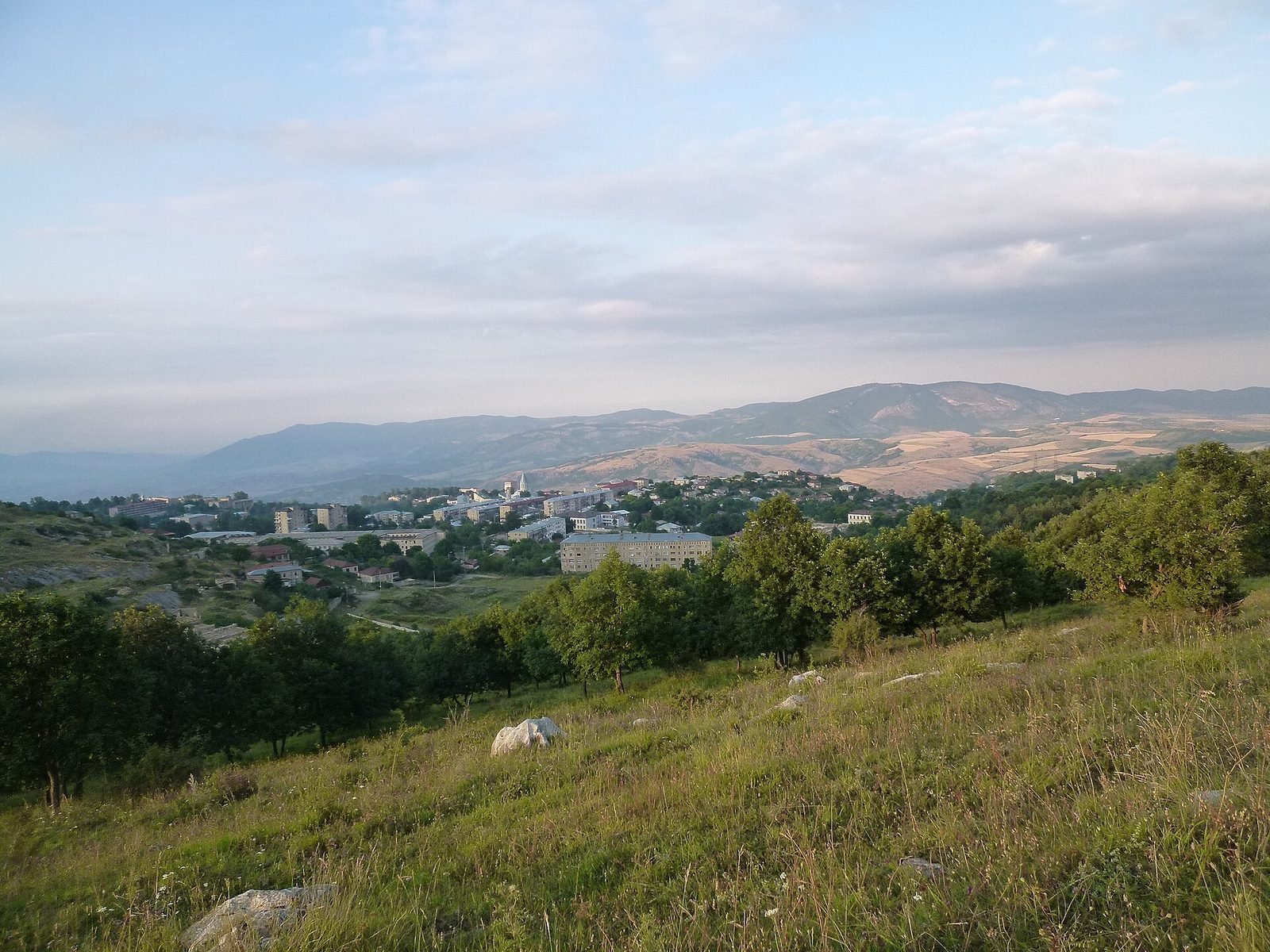
A city on the rock
Shusha stands on a rocky plateau protected by 18th-century fortress walls. Its narrow streets, mosques and house-museums of poets and musicians shaped the face of cultural Karabakh for centuries.
In 2021 Shusha was declared the cultural capital of Azerbaijan; festivals returned and a large-scale restoration of the city began.